Henrik Sullivan · 23 September 2026
Lumenberg Residents Track Bird Populations in Urban Parks Through Citizen Science App
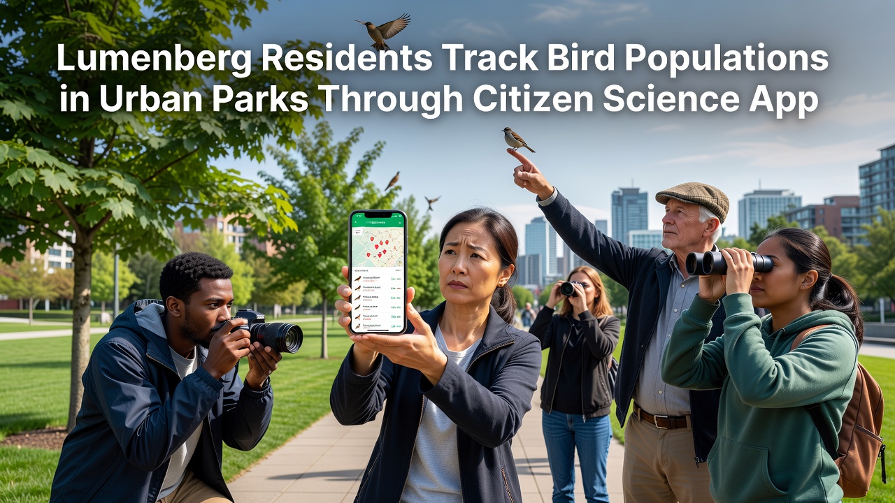
Residents across Lumenberg have adopted a citizen science app that allows them to record and share observations of bird species in city parks and green spaces, and this effort has generated structured datasets that local researchers and environmental groups now use for monitoring urban biodiversity. The app connects users through location-based prompts while they walk through areas such as Riverside Park and the Central Green Corridor, and participants log species sightings along with timestamps, weather conditions, and habitat notes that feed into a central database maintained by regional wildlife coordinators.
Development of the Tracking Platform
Developers built the platform in partnership with local universities and park management offices, and the system draws on established protocols from international bird monitoring networks to standardize data entry. Users download the free application on their phones, and the interface guides them through identification steps that include photo uploads and audio recordings when available. Training sessions held at community centers in Lumenberg teach beginners how to distinguish common urban species such as blackbirds, sparrows, and finches from less frequent visitors like kingfishers and warblers that appear during migration periods.
Participation Growth and Data Collection
Participation numbers have risen steadily since the app launched, with several hundred active contributors submitting records on a weekly basis, and data from September 2026 showed an increase in observations during the autumn migration window compared with the same month in prior years. Park visitors often combine routine exercise or commuting routes with brief recording stops, and the accumulated entries now exceed 12,000 individual sightings that cover more than 80 distinct species across Lumenberg’s municipal boundaries. Analysts at the city’s environmental department cross-reference these reports with historical survey data, and patterns emerge regarding shifts in species distribution that correlate with changes in tree cover and water features within the parks.
Integration with Broader Research Efforts
Local findings feed into larger regional databases, and project coordinators share anonymized summaries with organizations such as Environment and Climate Change Canada and the Australian Department of Climate Change, Energy, the Environment and Water for comparative studies on urban bird trends across continents. University teams in Lumenberg have begun to overlay app-generated maps with satellite imagery of park vegetation, and initial results indicate higher species richness in zones where native shrub layers remain intact rather than in heavily manicured lawns. Community groups organize monthly meet-ups where experienced birders review recent submissions and discuss identification challenges, and these gatherings also serve as recruitment events that bring in new users from surrounding neighborhoods.
Observed Trends in Urban Habitats
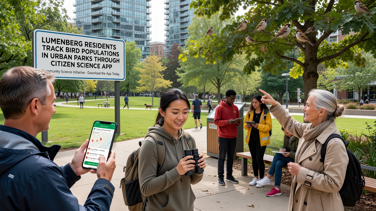
Observers note that certain parks now register consistent winter populations of species previously considered rare in the city center, and the app’s timestamped records allow researchers to track arrival and departure dates with greater precision than earlier manual counts permitted. Maintenance crews have adjusted mowing schedules and planting choices in response to aggregated findings that highlight preferred foraging areas, while educational signage installed along pathways explains the role of specific plants in supporting insect populations that sustain the birds. Data quality checks performed by volunteer moderators flag duplicate or uncertain entries, and the system prompts users to add follow-up details when an observation appears incomplete. Over time the dataset has grown robust enough for publication in peer-reviewed journals, and several graduate students have used subsets of the Lumenberg records for theses examining the effects of light pollution and noise on avian behavior.
Community Workshops and Ongoing Support
Workshops held in September 2026 focused on advanced features such as sound analysis tools and historical trend graphs, and attendance at these sessions reached capacity with waiting lists forming for future dates. Schools in the area incorporate the app into science curricula, allowing students to contribute observations during field trips while learning about data ethics and privacy safeguards built into the platform. Park rangers receive automated alerts when unusual species appear, and they can direct resources toward protecting temporary habitats such as unmowed meadows that attract ground-nesting birds. The collaborative model has drawn interest from neighboring municipalities, and planning meetings now explore options for expanding the app’s coverage to additional green corridors beyond Lumenberg’s current limits.
Conclusion
Continued submissions through the citizen science app continue to build a detailed picture of how bird populations respond to urban conditions in Lumenberg, and the resulting information supports evidence-based decisions on park management and habitat restoration. Regular updates to the platform incorporate user feedback while maintaining compatibility with international data standards, ensuring that local contributions remain valuable for wider ecological analyses. As more residents participate, the volume and granularity of records increase, providing researchers with a living archive that reflects seasonal and yearly changes across the city’s parks and green spaces.